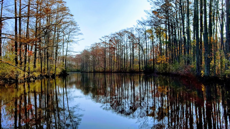
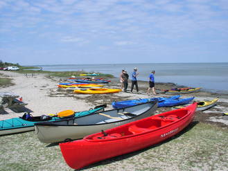
Albemarle Regional Paddle TrailsWater is our greatest asset in the Albemarle region, and eco-tourism is an important part of our local economy. The Albemarle Regional Paddle Trail Map was developed to assist paddlers with paddle trails, access points, and shows the trails that have been recently updated. Links to maps of the trails are included below along with a document that contains descriptions of the trails, access sites, and skill levels.
New Kayak Access on Bennett's Creek!
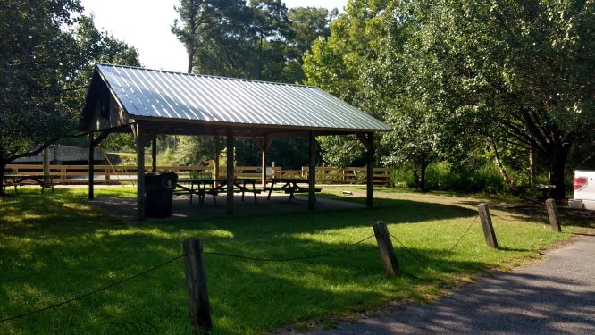
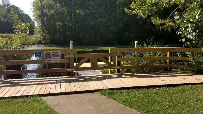
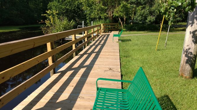
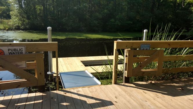
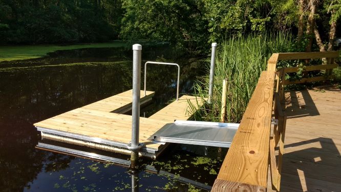
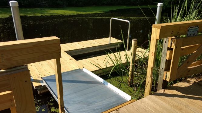
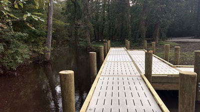
The park renovation project is complete with a new metal roof on the pavilion, new decking and railing, and benches on the boardwalk, and a new kayak launch. Beginning below Merchant's Millpond State Park and flowing 21 miles to the Chowan River, the paddle trail is a hidden gem in Northeast NC. The state park manages camping platforms over water and on high ground a few miles north of Gatesville. There also are camping platforms on Holladay Island in the Chowan River. The Albemarle RCD Council provided design and grant writing support for the project, which was funded with a grant from the Public Beach and Coastal Waterfront Access Program. Bass Services and Rentals completed the renovations. Click on the Bennett's Creek Paddle Trail Map.
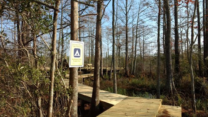
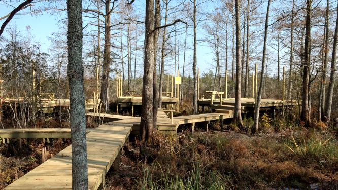
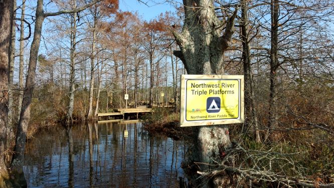
New Camping Platforms on the Northwest River!The triple camping platforms on the Northwest River in Currituck County are open for camping! There is no fee to camp, but reservations are required. To make a reservation call the Currituck Parks and Recreation Department at 252-232-3007. The ARC&D provided design, contracting and construction management support for the project. Click on the Moyock Creek and Northwest River Paddle Trail Map.
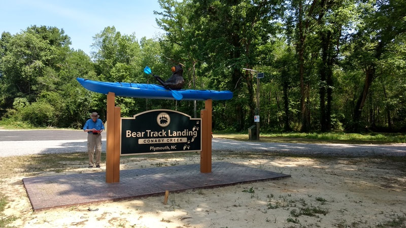
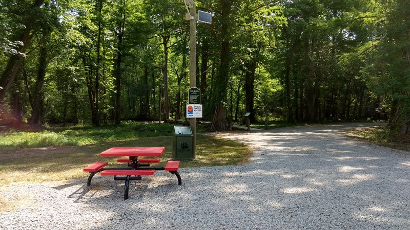
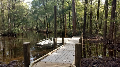
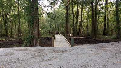
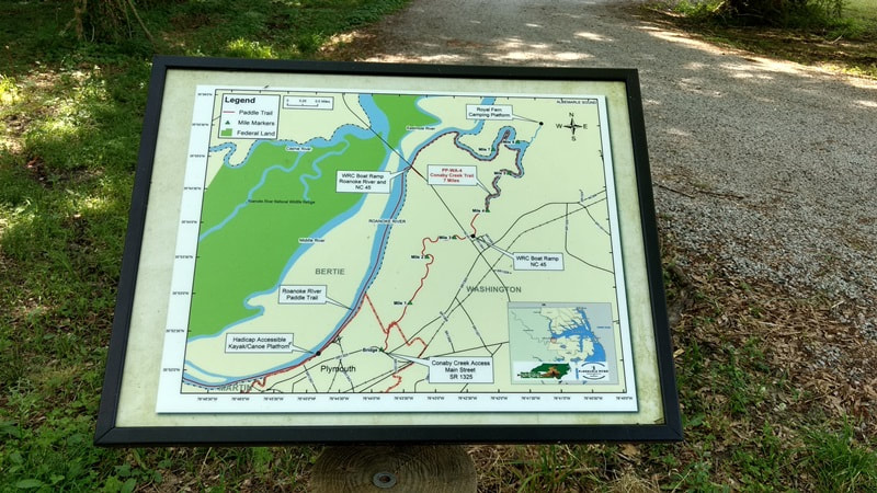
New Paddle Trail Access on Conaby Creek!The Town of Plymouth has completed a new park with kayak and canoe access on Conaby Creek. A link to the paddle trail map is included below.
|
